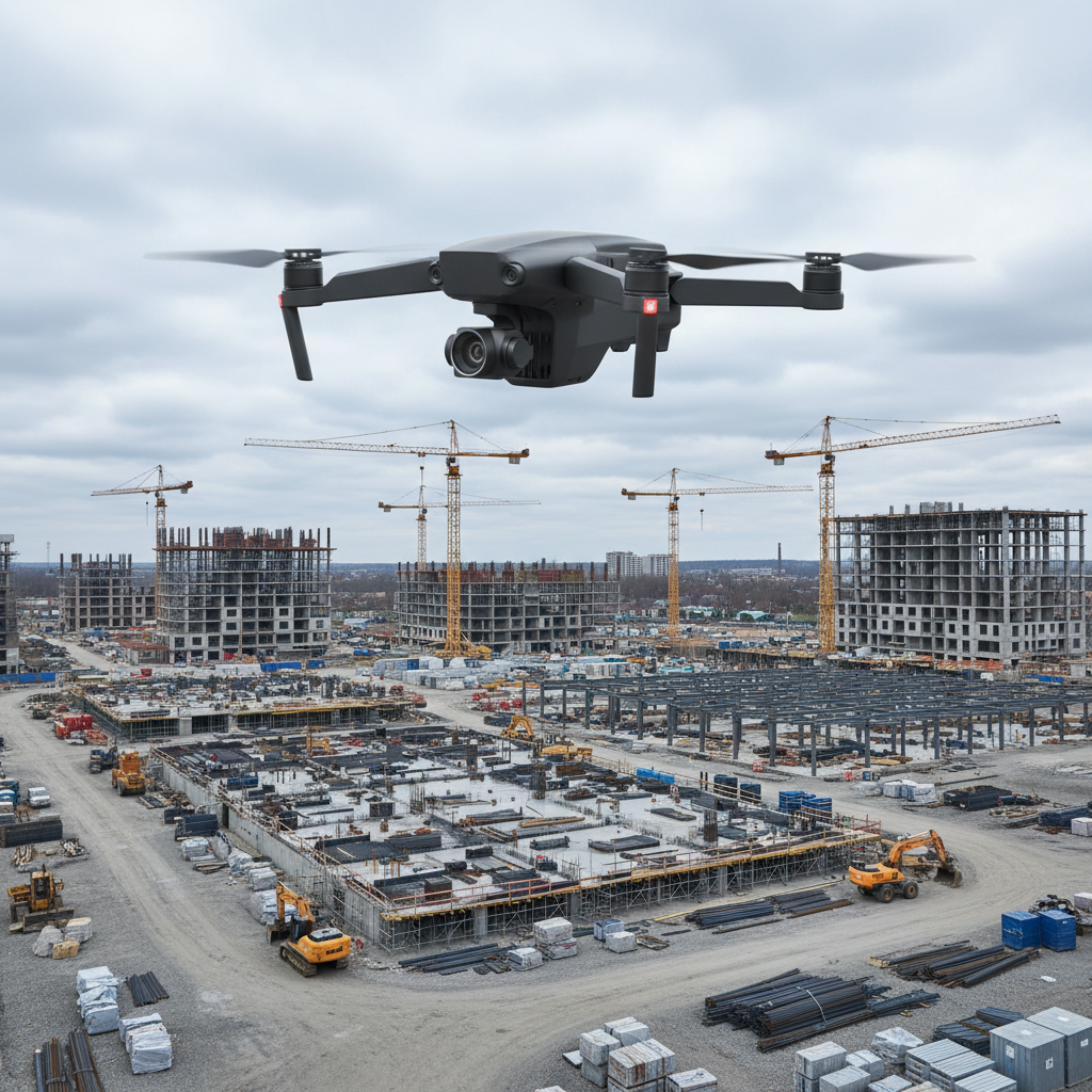
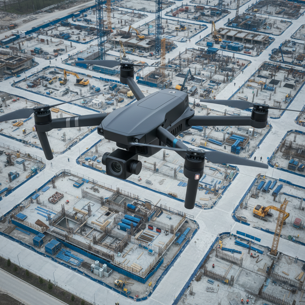
Educate. Innovate. Elevate.

CoPro Solutions delivers clear visibility, accurate documentation, and actionable insight from the sky—safely, efficiently, and on schedule.

Practical drone solutions for inspections, surveys, and site updates offering increased aerial intelligence.

Drone Services

A sleek matte-black quadcopter drone with precision-engineered propellers hovers steadily above a large, modern construction site. The drone’s streamlined exterior and integrated camera module are finely detailed, reflecting engineering excellence. Below, the meticulously organized building site features clean grid lines of concrete foundations, scaffolding, and heavy equipment. Cool overcast daylight creates even, diffused illumination across both drone and site, highlighting structural elements and casting soft shadows. The mood is professional and focused, conveying advanced technology at work. Shot from a slightly elevated angle with sharp focus throughout, the composition balances the drone against the urban grid below, embodying a photographic realism and clean, corporate aesthetic that emphasizes clarity and expertise in aerial documentation.

Aerial Site Surveys

From initial surveying to progress monitoring, we capture accurate aerial data to support decisions across construction, property management, and municipalities.

High-resolution imagery, live-streaming models, and real-time insights help teams reduce risk, schedule more efficiently, and document changes over time.
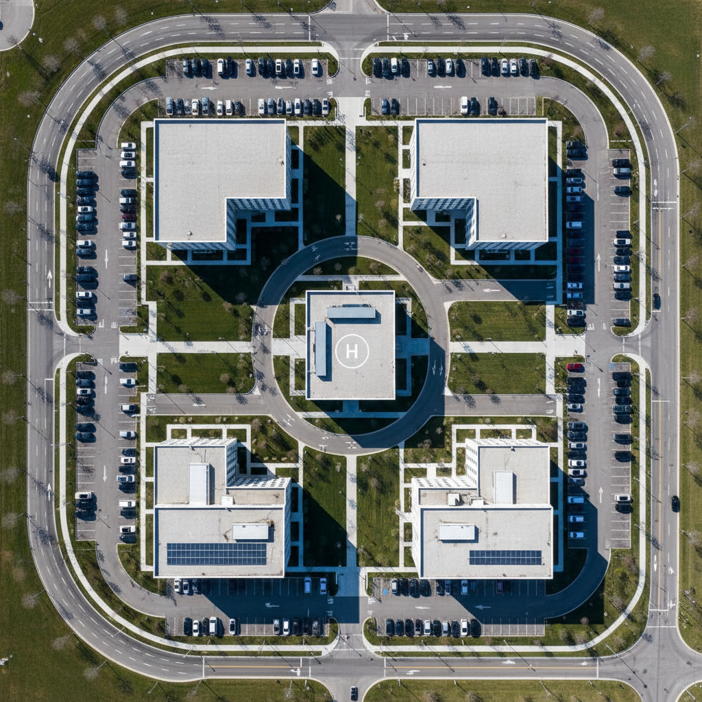
A high-resolution drone camera captures an expansive aerial view of a commercial property complex surrounded by neatly landscaped grounds and access roads. Modern, neutral-toned office buildings form geometric patterns, their sharp edges echoed by manicured lawns and parking spaces. The lighting is crisp midday sunlight, providing clear, glare-free visibility, and accentuating the uniform lines and structured layout of the property. The overall mood is orderly and efficient, communicating comprehensive situational awareness. The image employs a true top-down, bird’s-eye perspective with every detail in crisp focus, embodying professional photographic realism with clean lines and a balanced, minimalist composition that reflects the site’s business-oriented approach.

Site Mapping

We tailor drone programs to meet project timelines, safety requirements, and budget constraints.

Thermal imaging, volumetrics, and data integration provide actionable insights for stakeholders.

A streamlined, contemporary drone with a brushed metal finish sits poised for launch on a sturdy rooftop the surface dotted with safety markings and subtle weathering. The drone’s sleek sensors and gimbal system are crisp and precisely rendered, hinting at advanced features. Wide panoramic cityscape stretches out behind, with a mix of office towers and utility infrastructure rendered in cool, neutral hues. Late afternoon light casts a gentle, cool tone with subtle highlights on metallic surfaces, creating clear separation between foreground and background. The composition favors a rule-of-thirds balance and moderate depth of field, emphasizing readiness and innovation. The mood is quietly dynamic and forward-thinking, captured in a clean, modern style ideal for a corporate technology provider.

Construction Progress Monitoring

Regular flyovers capture progress, verify milestones, and support QA across multi-phase builds.

Our systems deliver precise change detection, issue tracking, and documentation for handovers.

A detailed close-up of a sophisticated drone remote controller rests on a minimalist, matte-grey desk surface, next to neatly organized technical documentation and a ruggedized protective case. The controller’s granular textures, tactile joysticks, and small LED screen display crisp flight data, all rendered in shades of grey and black for a high-tech feel. Overhead, soft studio lighting creates gentle highlights on the device’s contours, ensuring clear visibility of each control. The scene feels precise, modern, and well-ordered—conveying attention to detail and professionalism. The camera angle is slightly oblique, providing visual interest while keeping all elements in focus. The image’s photographic realism and balanced layout underscore reliability and technical expertise for the business’s brand.

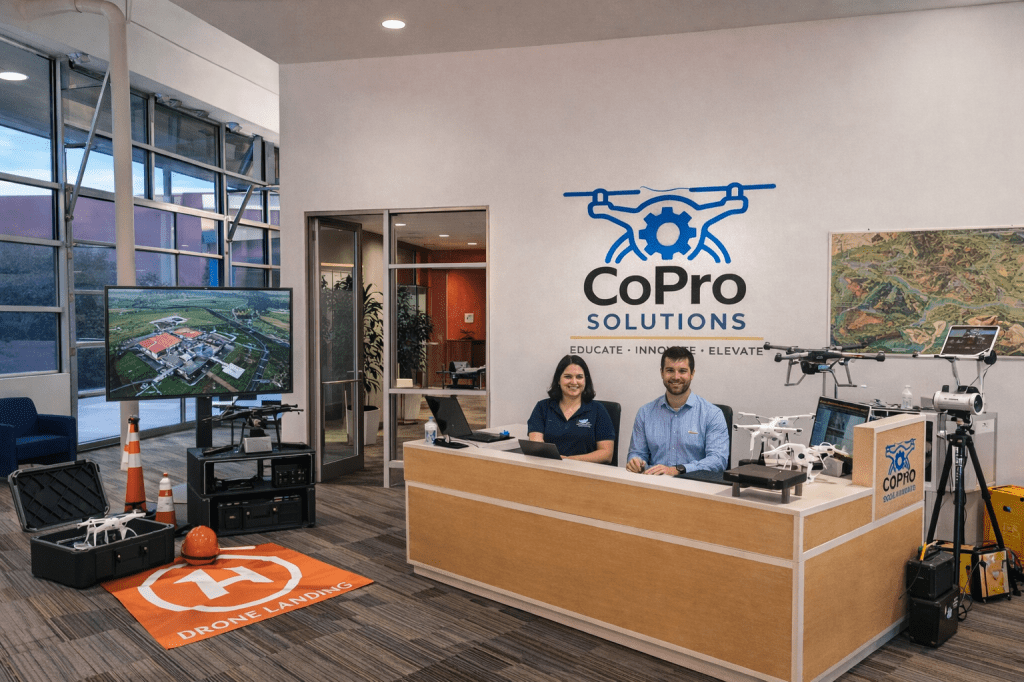
About CoPro Solutions

We are a team of pilots, data specialists, and project partners dedicated to turning aerial data into practical solutions for clients.

A small office with a reception desk at its center, with two people sitting there and equipment and technology surrounding...
A structured municipal park is captured from above as a high-end drone records comprehensive survey data, its shadow faintly visible on the evenly trimmed grass below. The park features sharply defined walking paths, geometric garden beds, and neatly spaced benches, all outlined in subtle neutral tones. The midday light is neutral and diffuse, producing soft but distinct contrast between turf, pavement, and landscaping. The atmosphere is quiet, purposeful, and analytical, highlighting the value of precise aerial oversight for municipal projects. The composition uses a grid-like division of space, with emphasis on symmetry and sharp detail throughout. The style is clean and photographic, reinforcing the site’s focus on accuracy and structured, professional results.
A sleek matte-black quadcopter drone with precision-engineered propellers hovers steadily above a large, modern construction site. The drone’s streamlined exterior and integrated camera module are finely detailed, reflecting engineering excellence. Below, the meticulously organized building site features clean grid lines of concrete foundations, scaffolding, and heavy equipment. Cool overcast daylight creates even, diffused illumination across both drone and site, highlighting structural elements and casting soft shadows. The mood is professional and focused, conveying advanced technology at work. Shot from a slightly elevated angle with sharp focus throughout, the composition balances the drone against the urban grid below, embodying a photographic realism and clean, corporate aesthetic that emphasizes clarity and expertise in aerial documentation.
A high-resolution drone camera captures an expansive aerial view of a commercial property complex surrounded by neatly landscaped grounds and access roads. Modern, neutral-toned office buildings form geometric patterns, their sharp edges echoed by manicured lawns and parking spaces. The lighting is crisp midday sunlight, providing clear, glare-free visibility, and accentuating the uniform lines and structured layout of the property. The overall mood is orderly and efficient, communicating comprehensive situational awareness. The image employs a true top-down, bird’s-eye perspective with every detail in crisp focus, embodying professional photographic realism with clean lines and a balanced, minimalist composition that reflects the site’s business-oriented approach.


Reviews


Carl McGhee

“CoPro’s drone data streamlined our site planning and saved weeks of work. The insights were undeniable.”


Mateo García

“Their aerial surveys gave us timely updates and confidence through every phase of the project.”


Where we operate

315 Capitol St. Houston TX 77002


Hours

M-F 9am to 6pm


Phone

832-673-5831

0a44b3ec-1d10-4dd9-9d3b-d648de9cd509